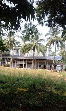
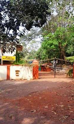
Silver Hills, Kozhikode
Silver Hills, Merikunnu or Velli-madu-kunnu is a suburb in the city of Kozhikode (Calicut), in India.
| Silver Hills, Kozhikode | |
|---|---|
|
Nurumba Bhagavathy Temple | |
| Coordinates: 11°17′26″N 75°49′48″E / 11.29062°N 75.83004°E | |
| Country | India |
| State | Kerala |

Etymology
Vellimadukunnu means Silver Hills in Malayalam language. This place is otherwise called as Marikkunnu. The post office which serves the area also has its name Marikkunnu. "Velliyattummal" is the term formerly used by locals. The meaning of vellimadukunnu (velli=silver, kunnu=hill, madu is referred to domestic animals like cow, buffalo, pig etc. it denotes that earlier the hills were used for feeding garass to animals). Vellimadukunnu is often translated as "Silver Hills".[1]
Transportation
Vellimadukunnu is situated nine kilometres away from the city of Kozhikode. Vellimadukunnu is mainly a residential area and basic amnesties like schools, colleges and hospitals are available here.
Wayanad Road
Wayanad Road begins from Nadakkavu area in Kozhikode. After passing through the Eranhippalam junction, the major locations are the Civil Station and the Iqra Hospital areas. After the Malapparamba junction, Wayanad Road continues through NGO Quarters, Law College, Nirmala Hospital, Merikkkunnu, Madhyamam Press and reaches Moozhikkal village. The next localities are Chelavoor and Markaz town. The road further passes through Koduvally and Thamarassery before going up to Wayanad hills.
Major Organizations
- Nirmala Hospital
- NGO Quarters
- Govt. Law College
- Silver Hills School
- JDT Islam
- Amrita School
- Indian Institute of Spices Research (IISR)
Trekking Tracks
Vellimadukunnu has excellent trekking possibilities. On the northern side you have a dead end street taking you to the river. The little foot bridge on the river can be crossed to access the village of Parambil Bazar. The southern side of Vellimadukunnu has a network of footpaths taking you to Kovoor Town and Chevarambalam. All these footpaths pass through lush green paddy fields and coconut farms on the fringes.
See also
Image Gallery
 Nirmala Hospital, JDT junction
 Civil Station
 Madhyamam Newspaper office is in Silverhills
Location
 |
Vengeri Junction |  | ||
| Eranhipalam | |
Silver Hills | ||
| ||||
| | ||||
| Thondayad Junction |
References
External links
Coordinates: 11°17′38″N 75°49′13″E / 11.29395°N 75.82038°E
