Lujmani
| Lujmani | |
|---|---|
 Lujmani Peru | |
| Highest point | |
| Elevation | 5,000 m (16,000 ft) [1] |
| Coordinates | 15°09′15″S 73°03′56″W / 15.15417°S 73.06556°WCoordinates: 15°09′15″S 73°03′56″W / 15.15417°S 73.06556°W |
| Geography | |
| Location | Peru, Arequipa Region |
| Parent range | Andes |
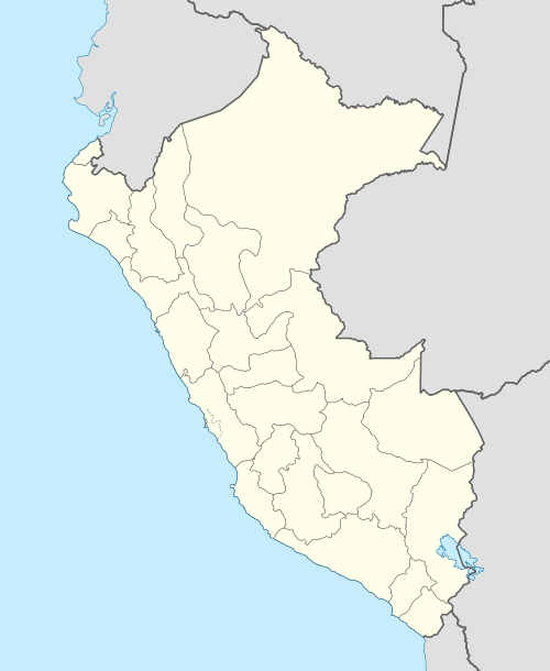
Lujmani (Aymara lujma a plant of the Sapotaceae family[2] (possibly Pouteria lucuma) -ni a suffix to indicate ownership, "the one with the lujma", hispanicized spelling Lucmani) is a mountain in the Andes of Peru, about 5,000 metres (16,404 ft) high. It is located in the Arequipa Region, La Unión Province, Charcana District, and in the Paucar del Sara Sara Province, San José de Ushua District. It lies southwest of Chhulluni.
References
- ↑ escale.minedu.gob.pe - UGEL map of the La Unión Province (Arequipa Region)
- ↑ "Diccionario Bilingüe, Castellano - Aymara, 2002". Félix Layme Pairumani. Retrieved March 2, 2015. (see: Planta sapotácea)
This article is issued from Wikipedia - version of the 12/6/2015. The text is available under the Creative Commons Attribution/Share Alike but additional terms may apply for the media files.