Lichiqucha
| Lichiqucha | |
|---|---|
 Lichiqucha Peru | |
| Highest point | |
| Elevation | 5,000 m (16,000 ft) [1] |
| Coordinates | 11°32′34″S 76°21′06″W / 11.54278°S 76.35167°WCoordinates: 11°32′34″S 76°21′06″W / 11.54278°S 76.35167°W |
| Geography | |
| Location | Peru, Junín Region, Lima Region |
| Parent range | Andes |
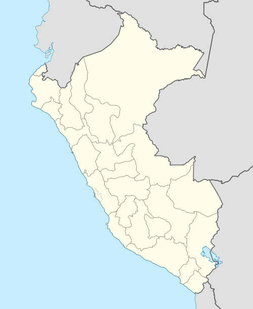
Lichiqucha (Quechua lichi milk (a borrowing from Spanish leche), qucha lake,[2][3] "milk lake", also spelled Lichicocha) is a mountain in the Andes of Peru which reaches an altitude of approximately 5,000 m (16,000 ft). It is located in the Junín Region, Yauli Province, Marcapomacocha District, and in the Lima Region, Huarochirí Province, in the districts of Carampoma and Huanza. Lichiqucha lies northwest of Liyunqucha.[1][4]
References
- 1 2 escale.minedu.gob.pe - UGEL map of the Yauli Province (Junín Region)
- ↑ Robert Beér, Armando Muyolemaj, Dr. Hernán S. Aguilarpaj, Vocabulario comparativo, quechua ecuatoriano - quechua ancashino - castellano - English, Brighton 2006
- ↑ Teofilo Laime Ajacopa, Diccionario Bilingüe Iskay simipi yuyayk'ancha, La Paz, 2007 (Quechua-Spanish dictionary)
- ↑ "Municipalidad Distrital de Carampoma". municipalidadesperuanas.com. Retrieved December 27, 2015.
This article is issued from Wikipedia - version of the 12/27/2015. The text is available under the Creative Commons Attribution/Share Alike but additional terms may apply for the media files.