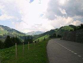
Les Agites
| Les Agites | |
|---|---|
|
Road of the pass | |
| Elevation | 1,569 m (5,148 ft) |
| Traversed by | Road |
| Location | Switzerland |
| Range | Alps |
| Coordinates | 46°21′51″N 06°57′15″E / 46.36417°N 6.95417°ECoordinates: 46°21′51″N 06°57′15″E / 46.36417°N 6.95417°E |
 Les Agites Location of Les Agites | |
Les Agites (el. 1569 m.) is a high mountain pass in the Alps in the canton of Vaud in Switzerland.
It connects Yvorne and La Lécherette.
The south side of the pass road lies in the Rhone valley. It passes through Corbeyrier and a 300-metre tunnel before reaching the summit.
The north side is substantially flatter, passing on the south shore of the Lac de l'Hongrin. This part of the road is open to private motorized vehicles only in summer. Near La Lécherette, the road meets the pass road that crosses the Col des Mosses.
See also
References
| Wikimedia Commons has media related to Les Agites. |
This article is issued from Wikipedia - version of the 8/17/2015. The text is available under the Creative Commons Attribution/Share Alike but additional terms may apply for the media files.
