Jwaneng Airport
| Jwaneng Airport | |||||||||||
|---|---|---|---|---|---|---|---|---|---|---|---|
| IATA: JWA – ICAO: FBJW | |||||||||||
| Summary | |||||||||||
| Airport type | Private | ||||||||||
| Owner | Debswana | ||||||||||
| Location | Jwaneng, Botswana | ||||||||||
| Elevation AMSL | 3,900 ft / 1,189 m | ||||||||||
| Coordinates | 24°35′54″S 024°41′56″E / 24.59833°S 24.69889°ECoordinates: 24°35′54″S 024°41′56″E / 24.59833°S 24.69889°E | ||||||||||
| Website | www.dca.gov.bw/... | ||||||||||
| Map | |||||||||||
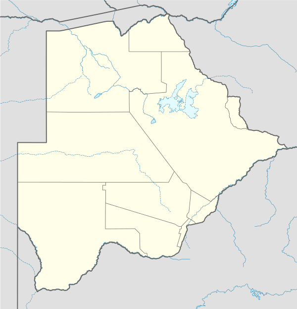
 JWA Location of airport in Botswana | |||||||||||
| Runways | |||||||||||
| |||||||||||
Jwaneng Airport (IATA: JWA, ICAO: FBJW) is a private aerodrome in Jwaneng, a town in the Southern District of Botswana. It is owned by Debswana, which also owns the Jwaneng diamond mine. There is no scheduled airline service.
Facilities
The airport resides at an elevation of 3,900 feet (1,189 m) above mean sea level. It has one runway designated 08/26 with an bitumen surface measuring 1,675 by 25 metres (5,495 ft × 82 ft). The runway handles aircraft with MAUW of up to 5,700 kilograms (12,600 lb).[1]
References
- 1 2 Airports: Jwaneng Aerodrome. Botswana Department of Civil Aviation.
- ↑ Airport information for FBJW from DAFIF (effective October 2006)
- ↑ Airport information for JWA at Great Circle Mapper. Source: DAFIF (effective October 2006).
External links
- Current weather for Jwaneng, Botswana (FBJW) at NOAA/NWS
- Accident history for Jwaneng Airport (JWA / FBJW) at Aviation Safety Network
This article is issued from Wikipedia - version of the 11/27/2016. The text is available under the Creative Commons Attribution/Share Alike but additional terms may apply for the media files.