Iberia Airport
| Iberia Airport | |||||||||||
|---|---|---|---|---|---|---|---|---|---|---|---|
| IATA: IBP – ICAO: SPBR | |||||||||||
| Summary | |||||||||||
| Serves | Iberia, Madre de Dios, Peru | ||||||||||
| Elevation AMSL | 750 ft / 229 m | ||||||||||
| Coordinates | 11°24′35″S 69°29′25″W / 11.40972°S 69.49028°WCoordinates: 11°24′35″S 69°29′25″W / 11.40972°S 69.49028°W | ||||||||||
| Map | |||||||||||
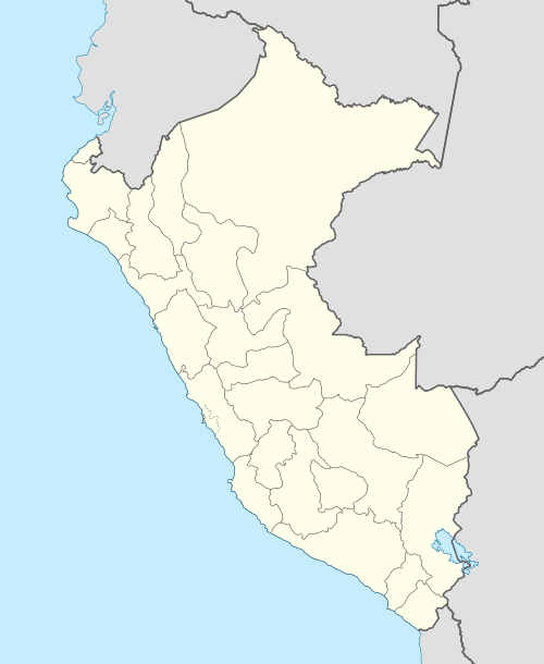 IBP Location of the airport in Peru | |||||||||||
| Runways | |||||||||||
| |||||||||||
Iberia Airport (IATA: IBP, ICAO: SPBR) is an airport serving Iberia in the Madre de Dios Region of Peru. The town is in the Amazon basin, 18 kilometres (11 mi) from the Peruvian border with Bolivia.
The Iberia non-directional beacon (Ident: IBE) is located 1 kilometre (0.62 mi) north of the runway.[4][5]
See also
References
- ↑ Airport information for SPBR at World Aero Data. Data current as of October 2006.
- ↑ Airport information for IBP at Great Circle Mapper.
- ↑ Google Maps - Iberia
- ↑ IBE NDB
- ↑ SkyVector IBE
External links
- (Spanish) Airports infrastructure – Peruvian Ministry of Infrastructure and Communications
- OurAirports - Iberia
- OpenStreetMap - Iberia
This article is issued from Wikipedia - version of the 12/4/2016. The text is available under the Creative Commons Attribution/Share Alike but additional terms may apply for the media files.