Hwange Town Airport
| Hwange Town Airport | |||||||||||
|---|---|---|---|---|---|---|---|---|---|---|---|
| IATA: WKI – ICAO: FVWT | |||||||||||
| Summary | |||||||||||
| Airport type | Public | ||||||||||
| Serves | Hwange | ||||||||||
| Elevation AMSL | 2,530 ft / 771 m | ||||||||||
| Coordinates | 18°21′45″S 26°31′10″E / 18.36250°S 26.51944°ECoordinates: 18°21′45″S 26°31′10″E / 18.36250°S 26.51944°E | ||||||||||
| Map | |||||||||||
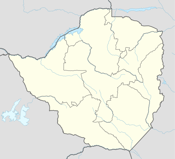 WKI Location of the airport in Zimbabwe | |||||||||||
| Runways | |||||||||||
| |||||||||||
Hwange Town Airport (IATA: WKI, ICAO: FVWT) is an airport serving Hwange, a mining town in Matabeleland North Province, Zimbabwe. The runway is adjacent to the town.
See also
References
- ↑ Google Maps - Hawange
- ↑ Airport information for WKI at Great Circle Mapper.
External links
This article is issued from Wikipedia - version of the 8/27/2016. The text is available under the Creative Commons Attribution/Share Alike but additional terms may apply for the media files.