Houstry
Coordinates: 58°17′44″N 3°26′38″W / 58.29543°N 3.44386°W
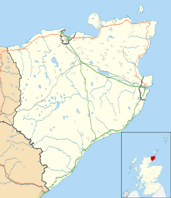
Houstry is a scattered crofting village, in the east coast of Dunbeath, Caithness, Scottish Highlands and is in the Scottish council area of Highland.
A large wind farm has been built next to the village.

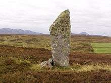
Standing stone near Houstry
This article is issued from Wikipedia - version of the 3/19/2013. The text is available under the Creative Commons Attribution/Share Alike but additional terms may apply for the media files.
