Horsedowns
Coordinates: 50°10′N 5°20′W / 50.16°N 05.33°W
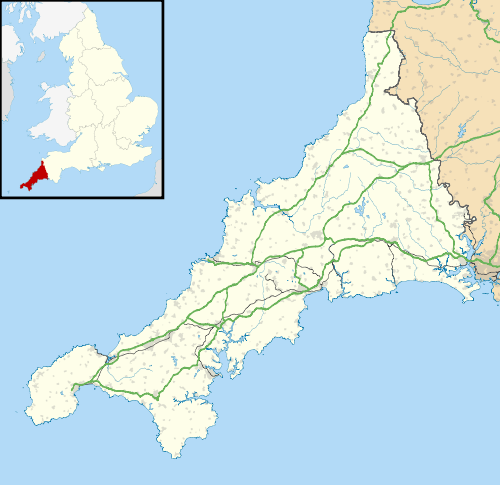
Horsedowns (or Horse Downs) is a hamlet east of Leedstown, south of Praze-an-Beeble and in the civil parish of Crowan, in West Cornwall, England.[1]
The hamlet is situated within the Tregonning and Trewavas Mining District of the Cornish Mining World Heritage area. Parts of the hamlet include historic mine workings, linked to the setts at Binner Downs (South) Mine and Wheal Sara Mine.
References
- ↑ Ordnance Survey One-inch Map of Great Britain; Land's End, sheet 189. 1961
This article is issued from Wikipedia - version of the 8/9/2016. The text is available under the Creative Commons Attribution/Share Alike but additional terms may apply for the media files.
