Hochmaderer
| Hochmaderer | |
|---|---|
|
The Hochmaderer from Bielerhöhe to the east | |
| Highest point | |
| Elevation | 2,823 m (AA) (9,262 ft) |
| Prominence | 318 m ↓ Hochmadererjoch |
| Isolation | 2.7 km → Zwillinge |
| Coordinates | 46°55′51″N 10°01′41″E / 46.930972°N 10.028°ECoordinates: 46°55′51″N 10°01′41″E / 46.930972°N 10.028°E |
| Geography | |
 Hochmaderer | |
| State/Province | AT-8 |
| Parent range | Silvretta |
 View from the west over the Gantschettatäli valley and Hochmadererjoch saddle to the Hochmaderer (left) | |

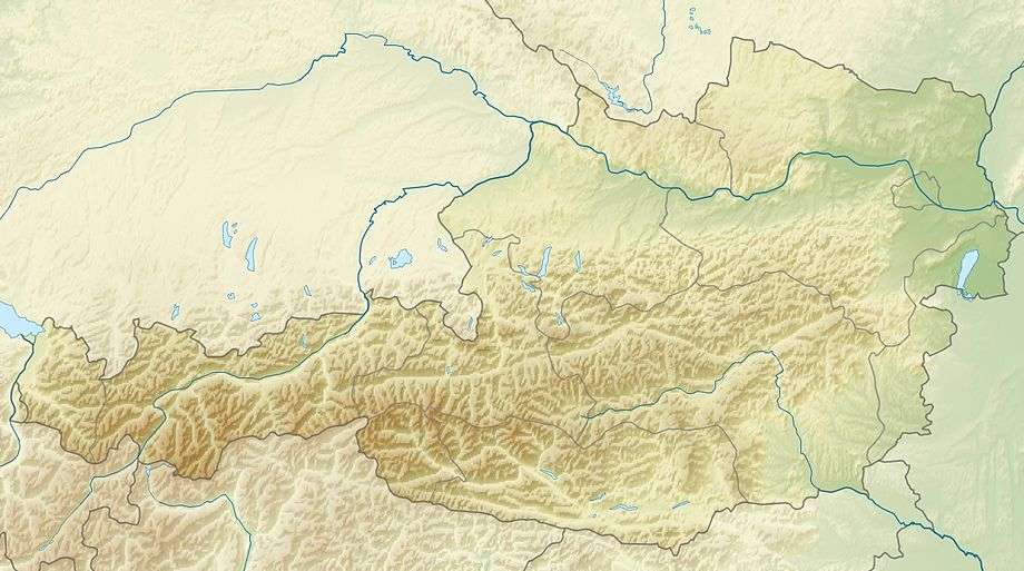
The Hochmaderer is a prominent mountain, 2,823 metres high, in the Silvretta in the Austrian state of Vorarlberg, at the end of the Montafon valley. The multi-peaked block of primitive rock drops in mighty precipices to the south and east.
The mountain may be ascended from the lake of Vermuntsee (1,743 m / 3½ hours) or from the Tübinger Hut (2,190 m / 2¾ hours) up the little valley of Gantschettatäli (2,300 m) to the south and the Hochmadererjoch saddle (2,505 m / 1 hour).
This article is issued from Wikipedia - version of the 2/15/2016. The text is available under the Creative Commons Attribution/Share Alike but additional terms may apply for the media files.