Garig Gunak Barlu National Park
| Garig Gunak Barlu National Park Northern Territory | |
|---|---|
|
IUCN category II (national park) | |
 Garig Gunak Barlu National Park | |
| Nearest town or city | Jabiru |
| Coordinates | 11°19′16″S 132°10′42″E / 11.32111°S 132.17833°ECoordinates: 11°19′16″S 132°10′42″E / 11.32111°S 132.17833°E |
| Established | 2000 |
| Area | 2,260.06 km2 (872.6 sq mi)[1] |
| Managing authorities |
|
| Website | Garig Gunak Barlu National Park |
| See also | Protected areas of the Northern Territory |
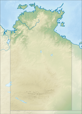
Garig Gunak Barlu is a national park around the Cobourg Peninsula in the Northern Territory, Australia, 216 km northeast of Darwin. It was established by joining the former Gurig National Park and the Cobourg Marine Park.
The park consists of all land of the Cobourg Peninsula, of Burford Island, the Sir George Hope Islands (from west to east Greenhill, Wangoindjung, Warldagawaji, Morse, Wunmiyi), Mogogout Island and Endyalgout Island (117.4 km²) to the south of the peninsula, and of adjacent waters. Croker Island, although close east of the peninsula, is not part of the park.
See also
References
- ↑ "CAPAD 2012 Northern Territory Summary (see 'DETAIL' tab)". CAPAD 2012. Australian Government - Department of the Environment. 7 February 2014. Retrieved 7 February 2014.
External links
This article is issued from Wikipedia - version of the 6/21/2015. The text is available under the Creative Commons Attribution/Share Alike but additional terms may apply for the media files.