Frutillar Airport
| Frutillar Airport | |||||||||||
|---|---|---|---|---|---|---|---|---|---|---|---|
| IATA: FRT – ICAO: SCFR | |||||||||||
| Summary | |||||||||||
| Airport type | Public | ||||||||||
| Serves | Frutillar | ||||||||||
| Location |
| ||||||||||
| Elevation AMSL | 469 ft / 143 m | ||||||||||
| Coordinates | 41°7′51.0″S 073°3′52.6″W / 41.130833°S 73.064611°WCoordinates: 41°7′51.0″S 073°3′52.6″W / 41.130833°S 73.064611°W | ||||||||||
| Map | |||||||||||
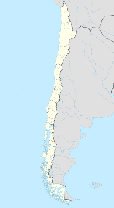 SCFR Location of Frutillar Airport in Chile | |||||||||||
| Runways | |||||||||||
| |||||||||||
|
Source: Chile AIP[1] | |||||||||||
Frutillar Airport (IATA: FRT[2], ICAO: SCFR) is a public use airport located near Frutillar, Los Lagos, Chile.
The airport lies at 469 ft / 143 m amsl and has a single, unlit grass runway (18/36), 770 x 18 m. There is no IFR approach procedure published.
See also
References
- ↑ Airport record for SCFR in Chile AIP. Retrieved 2013-11-03
- ↑ http://www.iata.org/publications/Pages/code-search.aspx
External links
This article is issued from Wikipedia - version of the 6/23/2015. The text is available under the Creative Commons Attribution/Share Alike but additional terms may apply for the media files.