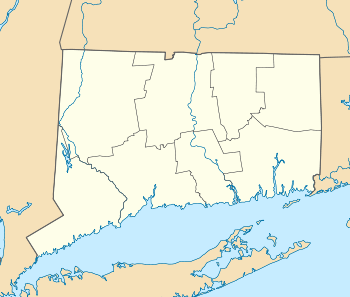
Farmington Historic District (Farmington, Connecticut)
|
Farmington Historic District | |
|
A view of Farmington Center | |
  | |
| Location | Farmington, Connecticut |
|---|---|
| Coordinates | 41°43′N 72°50′W / 41.72°N 72.83°WCoordinates: 41°43′N 72°50′W / 41.72°N 72.83°W |
| Area | 275 acres (111 ha) |
| Architect | Woodruff,Judah |
| Architectural style | Greek Revival |
| NRHP Reference # | 72001331[1] |
| Added to NRHP | March 17, 1972 |
The Farmington Historic District encompasses a 275-acre (111 ha) area of the town center of Farmington, Connecticut. It was listed on the National Register of Historic Places in 1972. The area roughly corresponds to the section of Route 10 between Route 4 and U.S. Route 6, and includes 115 buildings, primarily residences, built before 1835. The district includes several National Historic Landmarks, include Hill-Stead, the Austin F. Williams Carriagehouse and House, the First Church of Christ, Congregational, and the Stanley-Whitman House.[2]
See also
References
- ↑ National Park Service (2007-01-23). "National Register Information System". National Register of Historic Places. National Park Service.
- ↑ Richard D. Butterfield and James McA. Thomson (November 22, 1971). "National Register of Historic Places Inventory-Nomination: Farmington Historic District / Farmington Village" (PDF). National Park Service. and Accompanying 40 photos, from 1970 and other dates
External links
- Historic buildings of Connecticut (Farmington)
This article is issued from Wikipedia - version of the 6/29/2016. The text is available under the Creative Commons Attribution/Share Alike but additional terms may apply for the media files.
