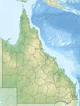
Evelyn, Queensland
| Evelyn Queensland | |||||||||||||
|---|---|---|---|---|---|---|---|---|---|---|---|---|---|
 Evelyn | |||||||||||||
| Coordinates | 17°30′04″S 145°27′22″E / 17.501°S 145.456°ECoordinates: 17°30′04″S 145°27′22″E / 17.501°S 145.456°E | ||||||||||||
| Postcode(s) | 4491 | ||||||||||||
| LGA(s) | Tablelands Region | ||||||||||||
| State electorate(s) | Dalrymple | ||||||||||||
| Federal Division(s) | Kennedy | ||||||||||||
| |||||||||||||
Evelyn is a rural locality in the Tablelands Region, Queensland, Australia.[1] At the 2011 census Evelyn recorded a population of 330.[2]
History
The name Evelyn is taken from the name of an early pastoral run, which was named by Francis Horace Stubley (a Member of the Queensland Legislative Assembly in the Electoral district of Kennedy 1878-83), after his wife.[1]
Heritage listings
Evelyn has a number of heritage-listed sites, including:
- Jonsson Road: Evelyn Scrub War Memorial[3]
- off Jonsson Road: Cressbrook Cemetery[4]
References
- 1 2 "Evelyn (entry 45810)". Queensland Place Names. Queensland Government. Retrieved 13 September 2015.
- ↑ Australian Bureau of Statistics (31 October 2012). "Evelyn (State Suburb)". 2011 Census QuickStats. Retrieved 14 July 2013.
- ↑ "Evelyn Scrub War Memorial (entry 602138)". Queensland Heritage Register. Queensland Heritage Council. Retrieved 14 July 2013.
- ↑ "Cressbrook Cemetery (entry 601900)". Queensland Heritage Register. Queensland Heritage Council. Retrieved 14 July 2013.
This article is issued from Wikipedia - version of the 7/18/2016. The text is available under the Creative Commons Attribution/Share Alike but additional terms may apply for the media files.