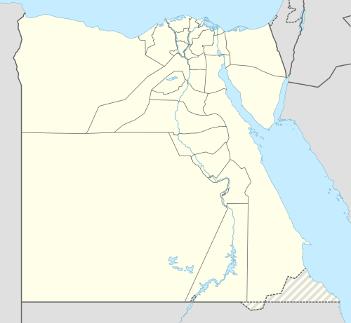
El Sheikh Sa'id
| El Sheikh Sa'id | |
|---|---|
 El Sheikh Sa'id Location in Egypt | |
| Coordinates: 27°43′N 30°53′E / 27.717°N 30.883°E | |
| Country |
|
| Governorate | Minya |
| Time zone | EST (UTC+2) |
| • Summer (DST) | +3 (UTC) |
El Sheikh Sa'id is a small village in the Minya Governorate in Upper Egypt. Situated on the east bank of the Nile, it is named after a local Muslim saint buried in the area.
Overview
El Sheikh Sa'id comprises the rock-cut tombs of the nomarchs of the Hare nome (the 15th Upper Egyptian nome) from the 6th Dynasty. These tombs are cut in steep cliffs.[1] The use of this necropolis declined during the First Intermediate Period, when the nomarchial necropolis was transferred slightly northward to Deir El Bersha.[2]
References
- ↑ Nicolas Grimal, A History of Ancient Egypt, New York, Barnes & Noble Books, 1997, ISBN 0-7607-0649-2, p. 134
- ↑ Wolfram Grajetzki, The Middle Kingdom of ancient Egypt: history, archaeology and society. London, Duckworth Egyptology, 2006, pp. 109-11
Coordinates: 27°43′N 30°53′E / 27.717°N 30.883°E
This article is issued from Wikipedia - version of the 10/16/2016. The text is available under the Creative Commons Attribution/Share Alike but additional terms may apply for the media files.