El Quetzal
| El Quetzal | |
|---|---|
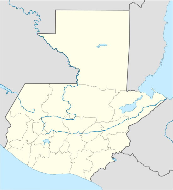
 El Quetzal Location in Guatemala | |
| Coordinates: 14°46′00″N 91°49′00″W / 14.76667°N 91.81667°W | |
| Country |
|
| Department |
|
| Government | |
| • Mayor | Ricardo Velásquez[1] (Partido Patriota) |
| Climate | Am |
El Quetzal (Spanish pronunciation: [el ketˈsal]) is a municipality in the San Marcos department of Guatemala. It was recognised as municipality on 19th of June 1900. The major source of income is the agriculture.
"La Inmaculada Concepción" parish
"La Inmaculada Concepción" (English:The Immaculate Conception") parish in La Reforma municipality was founded on 1 January 1956 and originally served both La Reforma and El Quetzal municipalities. Its first priest was father Jaime López, a Franciscan, who led the parish until 5 March 1958. His successor was father Juan Bartolomé Bueno, who was in charge until 31 July 1960, when father Pedro López Nadal, from Spain, took charge.[2] On 23 April 1961, church construction was completed and it was opened and blessed by San Marcos dioceses Bishop, Celestino Fernández. Father López Nadal led the parish until 25 January 1964, when father Juan Van Der Vaeren took his place. In 1965, El Quetzal was elevated to parish and had its own priest, leaving La Reforma.[2]
Climate
El Quetzal has tropical monsoon climate (Köppen: Am).
| Climate data for La Reforma | |||||||||||||
|---|---|---|---|---|---|---|---|---|---|---|---|---|---|
| Month | Jan | Feb | Mar | Apr | May | Jun | Jul | Aug | Sep | Oct | Nov | Dec | Year |
| Average high °C (°F) | 28.8 (83.8) |
29.1 (84.4) |
30.0 (86) |
30.0 (86) |
29.8 (85.6) |
28.2 (82.8) |
29.0 (84.2) |
29.3 (84.7) |
28.5 (83.3) |
28.3 (82.9) |
28.7 (83.7) |
28.7 (83.7) |
29.03 (84.26) |
| Daily mean °C (°F) | 22.8 (73) |
23.0 (73.4) |
23.8 (74.8) |
24.2 (75.6) |
24.3 (75.7) |
23.2 (73.8) |
23.6 (74.5) |
23.8 (74.8) |
23.5 (74.3) |
23.2 (73.8) |
23.3 (73.9) |
22.9 (73.2) |
23.47 (74.23) |
| Average low °C (°F) | 16.8 (62.2) |
17.0 (62.6) |
17.7 (63.9) |
18.5 (65.3) |
18.8 (65.8) |
18.3 (64.9) |
18.2 (64.8) |
18.4 (65.1) |
18.5 (65.3) |
18.2 (64.8) |
17.9 (64.2) |
17.2 (63) |
17.96 (64.33) |
| Average precipitation mm (inches) | 34 (1.34) |
43 (1.69) |
96 (3.78) |
228 (8.98) |
469 (18.46) |
668 (26.3) |
544 (21.42) |
592 (23.31) |
737 (29.02) |
673 (26.5) |
194 (7.64) |
66 (2.6) |
4,344 (171.04) |
| Source: Climate-Data.org[3] | |||||||||||||
Geographic location
 |
La Reforma, San Marcos municipality | San Cristóbal Cucho, San Marcos Department municipality |  | |
| La Reforma and Nuevo Progreso, San Marcos Department municipalities | |
Colomba, Quetzaltenango municipality[4] | ||
| ||||
| | ||||
| Coatepeque, Quetzaltenango Department municipality[4] |
See also
-
 Guatemala portal
 -
 Geography portal
 - La Aurora International Airport
- Tapachula International Airport
References
- ↑ "San Marcos elige autoridades municipales". Prensa Libre (in Spanish). Guatemala. 8 September 2015. Retrieved 8 September 2015.
- 1 2 Velásquez Rivas, Edvin (2009). Información del municipio de La Reforma (in Spanish). Guatemala: M.E.P.U.
- ↑ "Climate: El Quetzal". Climate-Data.org. Retrieved 5 September 2015.
- 1 2 SEGEPLAN. "Municipios del departamento de San Marcos". Secretaría General de Planificación (in Spanish). Archived from the original on 10 July 2015.
External links
Coordinates: 14°46′00″N 91°49′00″W / 14.7667°N 91.8167°W