El Borma Airport
| El Borma Airport | |||||||||||
|---|---|---|---|---|---|---|---|---|---|---|---|
| IATA: EBM – ICAO: DTTR | |||||||||||
| Summary | |||||||||||
| Airport type | Public | ||||||||||
| Serves | El Borma | ||||||||||
| Elevation AMSL | 847 ft / 258 m | ||||||||||
| Coordinates | 31°42′15″N 9°15′15″E / 31.70417°N 9.25417°ECoordinates: 31°42′15″N 9°15′15″E / 31.70417°N 9.25417°E | ||||||||||
| Map | |||||||||||
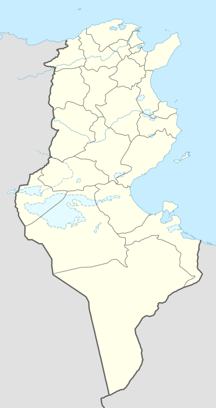 DTTR Location of the airport in Tunisia | |||||||||||
| Runways | |||||||||||
| |||||||||||
|
Source: Google Maps[1] | |||||||||||
El Borma (IATA: EBM, ICAO: DTTR) is an airport serving the El Borma town and its oil fields in Tunisia.
See also
 Aviation portal
References
- OurAirports - Tunisia
- Great Circle Mapper - El Borma
- El Borma
- Google Earth
External links
This article is issued from Wikipedia - version of the 11/8/2016. The text is available under the Creative Commons Attribution/Share Alike but additional terms may apply for the media files.