Dong Ap Bia
| Dong Ap Bia | |
|---|---|
| Đồi A Bia | |
| Highest point | |
| Elevation | 937 m (3,074 ft) |
| Listing |
List of mountains in Laos List of mountains in Vietnam |
| Coordinates | 16°15′N 107°11′E / 16.250°N 107.183°ECoordinates: 16°15′N 107°11′E / 16.250°N 107.183°E |
| Geography | |
| Location | Laos – Vietnam border |
| Parent range | Annamite Range |
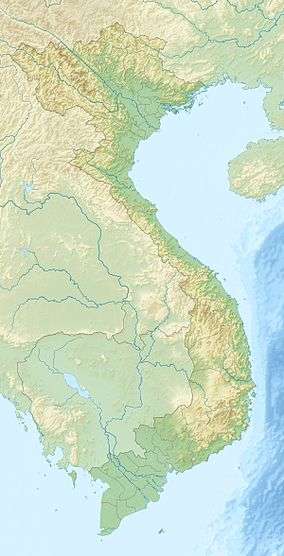
Dong Ap Bia (Vietnamese: Đồi A Bia, Ap Bia Mountain) is a mountain on the Laotian border of South Vietnam in Thừa Thiên–Huế Province. Rising from the floor of the western A Shau Valley, it is a looming, solitary massif, unconnected to the ridges of the surrounding Annamite range. It dominates the northern valley, towering some 937 metres above sea level. Snaking down from its highest peak are a series of ridges and fingers, one of the largest extending southeast to a height of 900 metres, another reaching south to a 916-metre peak. The entire mountain is a rugged, uninviting wilderness blanketed in double- and triple-canopy jungle, dense thickets of bamboo, and waist-high elephant grass. Local Montagnard tribesmen call Ap Bia "the mountain of the crouching beast."[1]
History
In May 1969, Dong Ap Bia was the site of the Battle of Hamburger Hill, a battle of the Vietnam War which was fought by the United States and South Vietnam against North Vietnamese forces.[2]
