Deadman Hill
Not to be confused with Deadman Hills.
| Deadman Hill | |
|---|---|
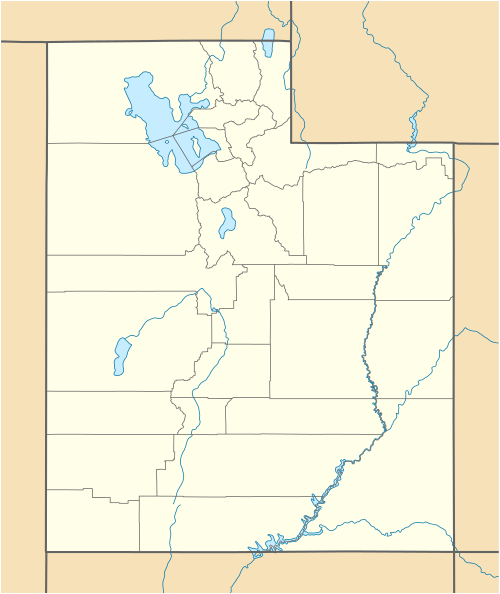
 Deadman Hill Location in Utah | |
| Highest point | |
| Elevation | 6,051 ft (1,844 m) NAVD 88[1] |
| Coordinates | 38°20′04″N 110°21′12″W / 38.334499925°N 110.353350092°WCoordinates: 38°20′04″N 110°21′12″W / 38.334499925°N 110.353350092°W [1] |
| Geography | |
| Location | Wayne County, Utah, U.S. |
| Topo map | USGS Robbers Roost Flats |
Deadman Hill is a summit in Wayne County, Utah, in the United States.[2] It is located about 19.5 miles (31.4 km) east of Hanksville, Utah and 28 miles (45 km) west-northwest of the confluence of the Green and the Colorado rivers in Canyonlands National Park.[1]
Deadman Hill marks the spot where a young fugitive was buried after being shot by vigilantes.[3]
References
- 1 2 3 "Dead Man". NGS data sheet. U.S. National Geodetic Survey. Retrieved 2016-06-02.
- ↑ "Deadman Hill". Geographic Names Information System. United States Geological Survey. Retrieved 2016-06-02.
- ↑ Van Cott, John W. (1990). Utah Place Names: A Comprehensive Guide to the Origins of Geographic Names : a Compilation. University of Utah Press. p. 105. ISBN 978-0-87480-345-7.
This article is issued from Wikipedia - version of the 11/4/2016. The text is available under the Creative Commons Attribution/Share Alike but additional terms may apply for the media files.