D'Estrees Bay
| D'Estrees Bay | |
|---|---|
 D'Estrees Bay Location in South Australia | |
| Location | Kangaroo Island, South Australia |
| Coordinates | 35°55′00″S 137°39′02″E / 35.91656209°S 137.65046840°ECoordinates: 35°55′00″S 137°39′02″E / 35.91656209°S 137.65046840°E[1] |
| Type | Bay |
| Basin countries | Australia |
| Max. length | 14 kilometres (8.7 mi)[2] |
| Max. depth | 27[2] |
| Settlements |
Haines D'Estrees Bay[1] |
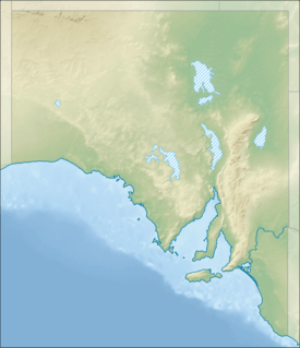
D'Estrees Bay (French: Baie D'Estrees) is a bay in the Australian state of South Australia located on the southern coast of Kangaroo Island about 39 kilometres (24 mi) south of Kingscote, the Island's principal centre.
D’Estrees Bay was named in 1803 by Peron and Freycinet of the Baudin expedition to Australia after Victor-Marie d'Estrées, a Marshal of France.[1][3]
The bay extends from Point Tinline in the south west to Point Reynolds in the north east,[2] with the beach being sandy and accessible for most of the bay's length.
The western side of the bay contains a settlement consisting of “single detached dwellings and recreation facilities for holiday makers and permanent residents.”[4]
The land at the bay's south west end is currently part of the Cape Gantheaume Conservation Park.[4]
See also
References
- 1 2 3 "Search result for "D'Estrees Bay (Bay)" (Record no SA0017650) with the following layers selected - "Suburbs and Localities" and "Place names (gazetteer)"". Property Location Browser. Government of South Australia. Retrieved 1 June 2016.
- 1 2 3 South Australia. Department of Marine and Harbors (DMH) (1985), The Waters of South Australia a series of charts, sailing notes and coastal photographs, Dept. of Marine and Harbors, South Australia, pp. Chart11, ISBN 978-0-7243-7603-2
- ↑ Robinson, A. C.; Canty, P.; Mooney, T.; Rudduck, P. (1996). "South Australia's offshore islands" (PDF). Australian Heritage Commission. p. 119. Retrieved 13 December 2013.
- 1 2 "Development Plan, Kangaroo Island Council, Consolidated – 20 February 2014" (PDF). Department of Planning, Transport and Infrastructure. pp. 127 and 329–333. Retrieved 8 March 2016.
