Council Bluffs Municipal Airport
| Council Bluffs Municipal Airport | |||||||||||||||
|---|---|---|---|---|---|---|---|---|---|---|---|---|---|---|---|
| IATA: CBF – ICAO: KCBF – FAA LID: CBF | |||||||||||||||
| Summary | |||||||||||||||
| Airport type | Public | ||||||||||||||
| Owner | Council Bluffs Airport Authority | ||||||||||||||
| Serves | Council Bluffs, Iowa | ||||||||||||||
| Elevation AMSL | 1,245 ft / 379 m | ||||||||||||||
| Coordinates | 41°15′36″N 095°45′31″W / 41.26000°N 95.75861°WCoordinates: 41°15′36″N 095°45′31″W / 41.26000°N 95.75861°W | ||||||||||||||
| Website | www.cbairport.com | ||||||||||||||
| Map | |||||||||||||||
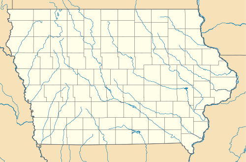
 CBF  CBF Location of airport in Iowa/United States | |||||||||||||||
| Runways | |||||||||||||||
| |||||||||||||||
| Statistics (2012) | |||||||||||||||
| |||||||||||||||
Council Bluffs Municipal Airport (IATA: CBF, ICAO: KCBF, FAA LID: CBF) is a public use airport located four nautical miles (5 mi, 7 km) east of the central business district of Council Bluffs, a city in Pottawattamie County, Iowa, United States. It is owned by Council Bluffs Airport Authority.[1] This airport is included in the National Plan of Integrated Airport Systems for 2011–2015, which categorized it as a general aviation facility.[2]
Flight school and air charter company Advanced Air Inc. operates out of this airport. The airport is also the site of Iowa Western Community College's Aviation Maintenance Technology program, and their Professional Pilot training program.
The airport has many instrument approaches, including an ILS to Runway 36, and a VOR-A approach that are both used regularly for training.
Facilities and aircraft
Council Bluffs Municipal Airport covers an area of 656 acres (265 ha) at an elevation of 1,245 feet (379 m) above mean sea level. It has two runways with concrete surfaces: 18/36 is 5,500 by 100 feet (1,676 x 30 m) and 14/32 is 3,650 by 60 feet (1,113 x 18 m).[1]
For the 12-month period ending March 22, 2012, the airport had 40,050 aircraft operations, an average of 109 per day: 96% general aviation, 4% air taxi, and <1% military. At that time there were 83 aircraft based at this airport: 63% single-engine, 14.5% multi-engine, 8% jet, and 14.5% helicopter.[1]
References
- 1 2 3 4 FAA Airport Master Record for CBF (Form 5010 PDF). Federal Aviation Administration. Effective May 31, 2012.
- ↑ "2011–2015 NPIAS Report, Appendix A" (PDF). National Plan of Integrated Airport Systems. Federal Aviation Administration. October 4, 2010. Archived from the original (PDF, 2.03 MB) on 2012-09-27. External link in
|work=(help)
External links
- Council Bluffs Airport Authority
- Advanced Air, the fixed-base operator (FBO)
- Aerial image as of March 1990 from USGS The National Map
- FAA Terminal Procedures for CBF, effective November 10, 2016
- Resources for this airport:
- FAA airport information for CBF
- AirNav airport information for KCBF
- ASN accident history for CBF
- FlightAware airport information and live flight tracker
- NOAA/NWS latest weather observations
- SkyVector aeronautical chart, Terminal Procedures