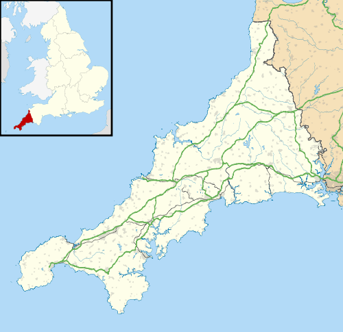
Higher Condurrow
Coordinates: 50°12′22″N 5°16′44″W / 50.206°N 5.279°W
Higher Condurrow is a hamlet in the parish of Camborne, Cornwall, England.[1][2]
References
- ↑ Ordnance Survey: Landranger map sheet 203 Land's End & Isles of Scilly (Map). Ordnance Survey. 2009. ISBN 978-0-319-23289-7.
- ↑ Higher Condurrow; Explore Britain
This article is issued from Wikipedia - version of the 1/20/2016. The text is available under the Creative Commons Attribution/Share Alike but additional terms may apply for the media files.
