Cluff Lake Airport
| Cluff Lake Airport | |||||||||||
|---|---|---|---|---|---|---|---|---|---|---|---|
|
IATA: | |||||||||||
| Summary | |||||||||||
| Airport type |
| ||||||||||
| Operator |
| ||||||||||
| Location | Cluff Lake mine, Saskatchewan | ||||||||||
| Time zone | CST (UTC−06:00) | ||||||||||
| Elevation AMSL | 1,103 ft / 336 m | ||||||||||
| Coordinates | 58°23′29″N 109°30′59″W / 58.39139°N 109.51639°WCoordinates: 58°23′29″N 109°30′59″W / 58.39139°N 109.51639°W | ||||||||||
| Map | |||||||||||
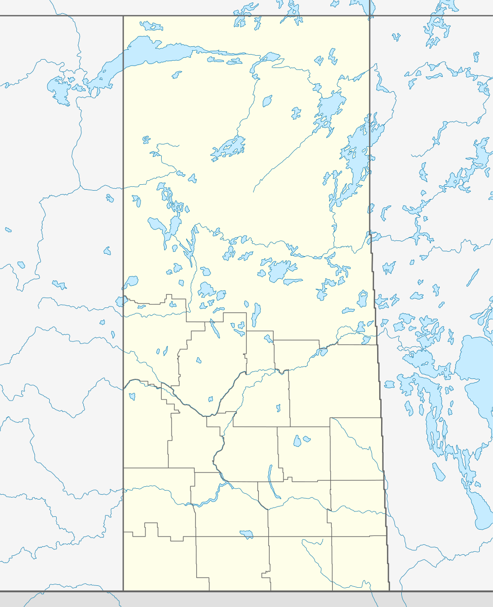 CJS3  CJS3 Location in Saskatchewan | |||||||||||
| Runways | |||||||||||
| |||||||||||
|
Source: Canada Flight Supplement[1] | |||||||||||
Cluff Lake Airport, (IATA: XCL, TC LID: CJS3), is a decommissioned airstrip located near Cluff Lake mine in far-northwestern Saskatchewan, Canada at the northern terminus of Saskatchewan Highway 955.
This aerodrome served a now-closed uranium mine.[2]
References
- ↑ Canada Flight Supplement. Effective 0901Z 15 September 2016 to 0901Z 10 November 2016
- ↑ AREVA Resources Canada Inc., formerly COGEMA Resources Inc.
External links
- Page about this airport on COPA's Places to Fly airport directory
- Accident history for XCL at Aviation Safety Network
| By name | |
|---|---|
| By location indicator | |
| By province/territory | |
| By region | |
| National Airports System | |
| Related | |
| |
This article is issued from Wikipedia - version of the 12/4/2016. The text is available under the Creative Commons Attribution/Share Alike but additional terms may apply for the media files.