Chuspiccocha (Huánuco)
This article is about the mountain at a lake of that name in the Huánuco Region, Peru. For other uses, see Ch'uspiqucha.
| Chuspiccocha | |
|---|---|
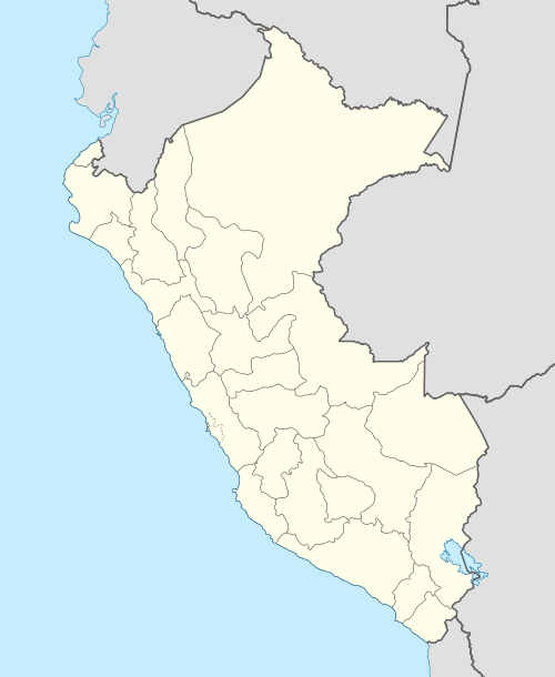
 Chuspiccocha Peru | |
| Highest point | |
| Elevation | 5,000 m (16,000 ft) |
| Coordinates | 10°22′54″S 76°43′52″W / 10.38167°S 76.73111°WCoordinates: 10°22′54″S 76°43′52″W / 10.38167°S 76.73111°W |
| Geography | |
| Location | Peru, Huánuco |
| Parent range | Andes, Rawra |
Chuspiccocha[1][2] (Quechua ch'uspi insect, generic name of flies or two-winged insects; fly, qucha lake, lagoon,[3] "fly lake" or "insect lake") is a mountain at a lake of that name in the Raura mountain range in the Andes of Peru, about 5,000 m (16,000 ft).[1] It is located in the Huánuco Region, Lauricocha Province, Cauri District.[2]
Lake Chuspi lies southwest of the mountain at 10°24′16″S 76°44′46″W / 10.40444°S 76.74611°W.[1][2] It is situated at the foot of Chira (4,777 metres (15,673 ft)) at a height of 4,156 metres (13,635 ft).[1]
References
- 1 2 3 4 Peru 1:100 000, Yanahuanca (21-j). IGN (Instituto Geográfico Nacional - Perú).
- 1 2 3 "Mapa UGEL Lauricocha" (PDF). Mapas DRE y UGEL. ESCALE - Ministerio de Educación - Perú. 2010. Retrieved 2016-07-10.
- ↑ Teofilo Laime Ajacopa, Diccionario Bilingüe Iskay simipi yuyayk'ancha, La Paz, 2007 (Quechua-Spanish dictionary)
This article is issued from Wikipedia - version of the 7/11/2016. The text is available under the Creative Commons Attribution/Share Alike but additional terms may apply for the media files.