Chañaral Airport
| Chañaral Airport Aeropuerto de Chañaral | |||||||||||
|---|---|---|---|---|---|---|---|---|---|---|---|
| IATA: CNR – ICAO: SCRA | |||||||||||
| Summary | |||||||||||
| Airport type | Public | ||||||||||
| Serves | Chañaral | ||||||||||
| Location |
| ||||||||||
| Elevation AMSL | 98 ft / 30 m | ||||||||||
| Coordinates | 26°19′56.5″S 070°36′26.6″W / 26.332361°S 70.607389°WCoordinates: 26°19′56.5″S 070°36′26.6″W / 26.332361°S 70.607389°W | ||||||||||
| Map | |||||||||||
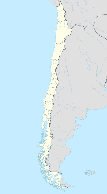 SCRA Location of Chañaral Airport in Chile | |||||||||||
| Runways | |||||||||||
| |||||||||||
Chañaral Airport (Spanish: Aeropuerto de Chañaral, IATA: CNR, ICAO: SCRA) is a public use airport located near Chañaral, Atacama, Chile.
See also
References
- ↑ Airport record for Chañaral Airport at Landings.com. Retrieved 2013-09-03
- ↑ Google (2013-09-03). "location of Chañaral Airport" (Map). Google Maps. Google. Retrieved 2013-09-03.
External links
- Airport record for Chañaral Airport at Landings.com
This article is issued from Wikipedia - version of the 11/8/2016. The text is available under the Creative Commons Attribution/Share Alike but additional terms may apply for the media files.