Brockman National Park
| Brockman National Park Western Australia | |
|---|---|
|
IUCN category II (national park) | |
 | |
 Brockman National Park | |
| Nearest town or city | Pemberton |
| Coordinates | 34°30′52″S 115°59′46″E / 34.51444°S 115.99611°ECoordinates: 34°30′52″S 115°59′46″E / 34.51444°S 115.99611°E |
| Established | 1977 |
| Area | 52 ha (130 acres)[1] |
| Managing authorities | Department of Environment and Conservation |
| Website | Brockman National Park |
| See also |
List of protected areas of Western Australia |
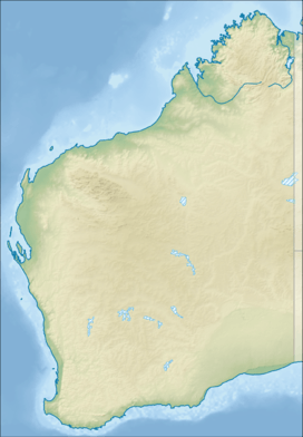
Brockman National Park is a national park in the South West region of Western Australia (Australia), 288 kilometres (179 mi) south of Perth and 10 km (6.2 mi) south of Pemberton.
The park, situated on both sides if the Pemberton-Northcliffe road, is predominantly composed of Karri and Marri Forest.[2] The forest understorey is made up of a mix of plants including swamp peppermint, karri hazel, karri wattle and karri sheoak all of which thrive in the damp conditions.[3]
The northern border of the park is the Warren River and the Warren National Park borders it to the west.
No entry fee applies for the park and no facilities are available to visitors.
The name is taken from the nearby Yeagarup Homestead that used to be known as Brockman Station.[4]
See also
References
- ↑ "Department of Environment and Conservation 2009–2010 Annual Report". Department of Environment and Conservation. 2010: 48. ISSN 1835-114X. Archived from the original on 11 January 2011.
- ↑ "Department of Environment and Conservation - Park Finder". 2008. Retrieved 1 May 2010.
- ↑ "Tour Tavel World - Brockman National Park". 2007. Retrieved 1 May 2010.
- ↑ "Total Travel -Brockman National Park". 2008. Retrieved 1 May 2010.