Boyer Flight Park
| Boyer Flight Park | |||||||||||
|---|---|---|---|---|---|---|---|---|---|---|---|
| IATA: none – ICAO: none – FAA LID: 7W7 | |||||||||||
| Summary | |||||||||||
| Airport type | Public use | ||||||||||
| Owner | Gayle High | ||||||||||
| Serves | Burnettsville, Indiana | ||||||||||
| Location | Carroll County, Indiana | ||||||||||
| Elevation AMSL | 710 ft / 216 m | ||||||||||
| Coordinates | 40°43′12″N 086°36′58″W / 40.72000°N 86.61611°WCoordinates: 40°43′12″N 086°36′58″W / 40.72000°N 86.61611°W | ||||||||||
| Map | |||||||||||
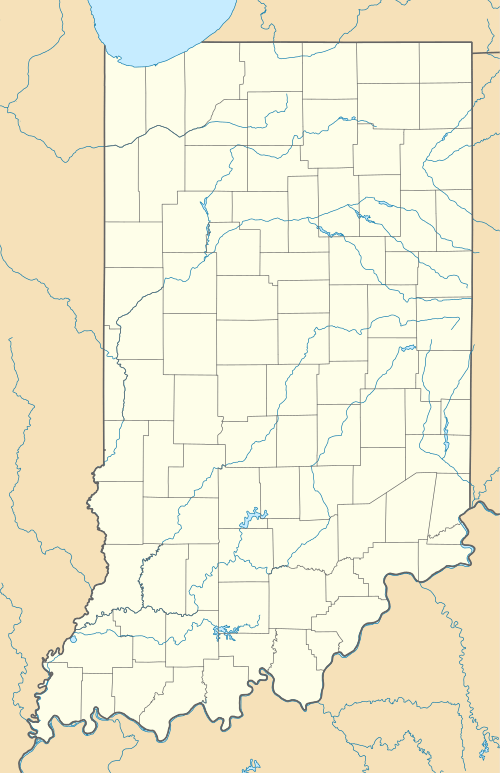 7W7 Location of airport in Indiana | |||||||||||
| Runways | |||||||||||
| |||||||||||
| Statistics (2010) | |||||||||||
| |||||||||||
Boyer Flight Park (FAA LID: 7W7) is a public use ultralight airport in Carroll County, Indiana, United States.[1] It is located four nautical miles (7 km) southwest of the central business district of Burnettsville,[1] a town in White County.
Facilities and aircraft
Boyer Flight Park covers an area of 7 acres (3 ha) at an elevation of 710 feet (216 m) above mean sea level. It has one runway designated 18/36 with a turf surface measuring 1,770 by 120 feet (539 x 37 m).[1]
For the 12-month period ending December 31, 2010, the airport had 218 general aviation aircraft operations, an average of 18 per month. There are two ultralight aircraft based at this airport.[1]
See also
References
- 1 2 3 4 5 FAA Airport Master Record for 7W7 (Form 5010 PDF). Federal Aviation Administration. Effective August 25, 2011.
External links
This article is issued from Wikipedia - version of the 8/8/2013. The text is available under the Creative Commons Attribution/Share Alike but additional terms may apply for the media files.