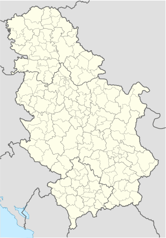
Boževac
| Boževac Божевац | |
|---|---|
 Boževac | |
| Coordinates: 44°32′N 21°24′E / 44.533°N 21.400°E | |
| Country |
|
| Time zone | CET (UTC+1) |
| • Summer (DST) | CEST (UTC+2) |
Boževac (Serbian: Божевац) is a rural region not far away from Požarevac and river Mlava. It belongs to Malo Crniće municipality.
At the beginning of the twentieth century this settlement, on the edge of Stig plain, is one of the most significant trade, craft and crossroads center of the region. First data about Bozevac originate from a Turkish account book of 1542, which was published by the Hungarian Academy of Sciences. In that account book Bozevac has 9 homes. In 1718 Austria occupies these areas and performs a register of population and settlements which reveals that area is uninhabited.
Coordinates: 44°32′N 21°24′E / 44.533°N 21.400°E
This article is issued from Wikipedia - version of the 3/1/2013. The text is available under the Creative Commons Attribution/Share Alike but additional terms may apply for the media files.