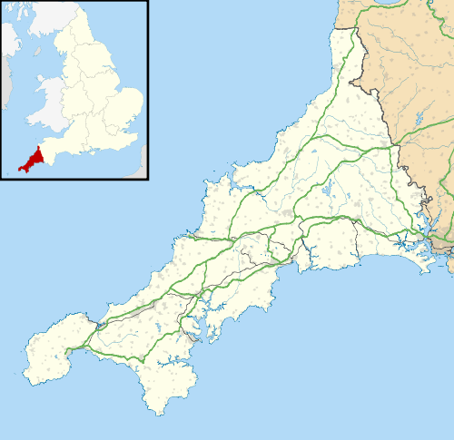
Blunts, Cornwall
Coordinates: 50°26′35″N 4°20′06″W / 50.4431°N 4.3351°W

Blunts
Blunts is a hamlet southeast of Quethiock in the civil parish of Quethiock in east Cornwall, England, United Kingdom. It is situated west of the River Lynher valley about 5 miles (8 km) north-west of Saltash on the road from Quethiock village to Landrake.[1][2] The meaning of Blunts is "Blunt family's workshop".[3] The hamlet has a Methodist chapel, a garage, a farm outlet for free-range eggs and a Women's Institute.
References
- ↑ Ordnance Survey: Landranger map sheet 201 Plymouth & Launceston. ISBN 978-0-319-23146-3.
- ↑ Blunts, Cornwall; Explore Britain
- ↑ Weatherhill, Craig (2009). A Concise Dictionary of Cornish Place-Names. Westport, Co. Mayo: Evertype. ISBN 9781904808220. p. 21.
This article is issued from Wikipedia - version of the 4/6/2016. The text is available under the Creative Commons Attribution/Share Alike but additional terms may apply for the media files.
