Bloody Ridge, Honiara
For the World War II Battle of Bloody Ridge, see Battle_of_Edson's_Ridge.
| Bloody Ridge settlement | |
|---|---|
| Suburb | |
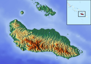 Bloody Ridge settlement Location in Guadalcanal | |
| Coordinates: 9°26′S 159°57′E / 9.433°S 159.950°E | |
| Country |
|
| Province | Honiara Town |
| Island | Guadalcanal |
| Elevation | 29 m (95 ft) |
| Time zone | UTC (UTC+11) |
Bloody Ridge is a suburb of Honiara, Solomon Islands and the location of a World War II battle.[1]
References
- ↑ "Site sought to build war museum". Solomon Star. 19 January 2016. Retrieved 22 January 2016.
Coordinates: 8°46′S 160°42′E / 8.767°S 160.700°E
This article is issued from Wikipedia - version of the 6/19/2016. The text is available under the Creative Commons Attribution/Share Alike but additional terms may apply for the media files.