Bangors
For the singular form, see Bangor (disambiguation).
Coordinates: 50°46′N 4°33′W / 50.76°N 04.55°W
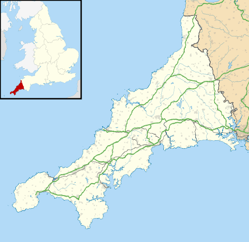
Bangors is a village in northeast Cornwall, England, United Kingdom. It is approximately four miles (6 km) south of Bude on the A39 trunk road, within the civil parish of Poundstock.[1]
References
- ↑ Ordnance Survey: Landranger map sheet 190 Bude & Clovelly ISBN 978-0-319-23145-6

Realigning the A39 at Bangors
This article is issued from Wikipedia - version of the 7/20/2015. The text is available under the Creative Commons Attribution/Share Alike but additional terms may apply for the media files.
