Békés Airport
| Békés Airport Békéscsabai repülőtér | |||||||||||||||
|---|---|---|---|---|---|---|---|---|---|---|---|---|---|---|---|
| IATA: none – ICAO: LHBC | |||||||||||||||
| Summary | |||||||||||||||
| Airport type | Public | ||||||||||||||
| Operator | Békés Airport Repülőtér Működtető Fejlesztő Kft. (Munkatársaink) | ||||||||||||||
| Serves | Békéscsaba, Hungary | ||||||||||||||
| Opened | 1943 | ||||||||||||||
| Elevation AMSL | 86 m / 283 ft | ||||||||||||||
| Coordinates | 46°41′00″N 021°09′45″E / 46.68333°N 21.16250°ECoordinates: 46°41′00″N 021°09′45″E / 46.68333°N 21.16250°E | ||||||||||||||
| Website | bekesairport.hu | ||||||||||||||
| Map | |||||||||||||||
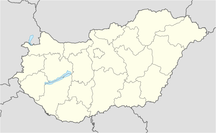 LHBC Location within Hungary | |||||||||||||||
| Runways | |||||||||||||||
| |||||||||||||||
|
Source:[1] | |||||||||||||||
Békés Airport is a civilian airport located 5 kilometres (3.1 mi) east of the centre of Békéscsaba in Hungary and is named after the Békés County.
History
The airport was developed in the wake of World War II as a result of military needs for an airfield, although the region did already have air access through the Szentesi airfield. It received the first aircraft in 1943.
The 12th FAI World Aerobatic Championships were held at the airport where Peter Besenyei achieved excellent results.
In 2006 the airport underwent substantial modernization which included paving of the main runway and taxi ways and modern lighting. While currently there are no regular or chartered commercial flights, the airport operator and local politics are working to establish such as soon as possible.
In December 2008 an upgrade of the hangars has been completed which can since accommodate 8-seater aircraft.
Location
The airport is located 5 kilometres (3.1 mi) east of the centre of Békéscsaba and 14 kilometres (8.7 mi) west from the Hungarian-Romanian border next to Highway 44, a four-lane expressway between Békéscsaba and Gyula.