Artema, Stanytsia-Luhanska Raion
| Artema Артема | |
|---|---|
| Village | |
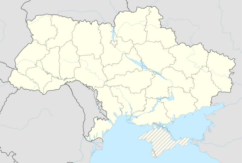 Artema Location of Artema within Ukraine | |
| Coordinates: UA 48°47′34″N 39°18′30″E / 48.79278°N 39.30833°ECoordinates: UA 48°47′34″N 39°18′30″E / 48.79278°N 39.30833°E | |
| Country | Ukraine |
| Province | Luhansk Oblast |
| District | Stanytsia-Luhanska Raion |
| Founded | 1930 |
| Area | |
| • Total | 1.75 km2 (0.68 sq mi) |
| Elevation | 43 m (141 ft) |
| Population (2001 census) | |
| • Total | 734 |
| • Density | 420/km2 (1,100/sq mi) |
| Time zone | EET (UTC+2) |
| • Summer (DST) | EEST (UTC+3) |
| Postal code | 93632 |
| Area code | +380 6472 |
Artema (Ukrainian: Артема; Russian: Артёма) is a village in Stanytsia-Luhanska Raion (district) in Luhansk Oblast of eastern Ukraine, situated at about 50 km north from the centre of Luhansk city, on the right bank of the Siverskyi Donets.
Siverskyi Donets has served as a natural separation line between the warring parties during the War in Donbass. A 15 minutes clash between governmental and pro-Russian forces, that took place near the village on 12 September 2016, at around 4:00 pm, resulted in two Ukrainian soldiers killed, five others wounded, and one unaccounted for in action.[1][2][3][4] Later on the missing serviceman was accounted.[5]
Demographics
Native language as of the Ukrainian Census of 2001:[6]
- Russian 76.98%
- Ukrainian 22.48%
References
- ↑ "Сводные данные АТО – 13 сентября" [Summary information on ATO as of 13 September] (in Russian). NSDC. 13 September 2016. Retrieved 13 September 2016.
- ↑ "МОУ: За минувшие сутки погибли трое украинских военных, еще 15 ранены и один пропал без вести" (in Russian). 112 Ukraine. 13 September 2016. Retrieved 2016-09-13.
- ↑ "Three Ukrainian Soldiers Killed in Volatile East". REF/RL. 13 September 2016. Retrieved 2016-09-13.
- ↑ "ДРГ боевиков атаковала украинских военных: двое погибших, пятеро раненых" (in Russian). UNIAN. 13 September 2016. Retrieved 13 September 2016.
- ↑ "Местонахождение пропавшего без вести в Станично-Луганском районе военнослужащего ВСУ установлено, – Арефьев" (in Russian). 112 Ukraine. 15 September 2016. Retrieved 2016-09-15.
Боец находится в одном из отделений Национальной полиции и дает показания
- ↑ Розподіл населення за рідною мовою на ukrcensus.gov.ua
External links
This article is issued from Wikipedia - version of the 9/21/2016. The text is available under the Creative Commons Attribution/Share Alike but additional terms may apply for the media files.