Amatopo Airstrip
| Amatopo Airstrip | |||||||||||
|---|---|---|---|---|---|---|---|---|---|---|---|
| IATA: none – ICAO: SMAM | |||||||||||
| Summary | |||||||||||
| Airport type | Public | ||||||||||
| Operator | Luchtvaartdienst Suriname | ||||||||||
| Location | Amatopo, Suriname | ||||||||||
| Coordinates | 3°32′50″N 57°37′55″W / 3.54722°N 57.63194°WCoordinates: 3°32′50″N 57°37′55″W / 3.54722°N 57.63194°W | ||||||||||
| Map | |||||||||||
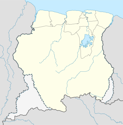 SMAM Location in Suriname | |||||||||||
| Runways | |||||||||||
| |||||||||||
Amatopo Airstrip (ICAO: SMAM) is an airstrip located near Amatopo in Suriname.
Charters and destinations
Airlines providing charter flights to this airport are:
| Airlines | Destinations |
|---|---|
| Blue Wing Airlines | Paramaribo, Zorg en Hoop Airport[3] |
| Caricom Airways | Paramaribo, Zorg en Hoop Airport[4] |
| Gum Air | Paramaribo, Zorg en Hoop Airport[5] |
| Hi-Jet Helicopter Services | Paramaribo, Zorg en Hoop Airport |
| Suriname Air Force / Surinaamse Luchtmacht | Paramaribo, Zorg en Hoop Airport |
Incidents and accidents
 On 14 November 1976, a de Havilland Canada DHC6-100 Twin Otter, registered PZ-TAV of the Surinaamse Luchtvaart Maatschappij was involved in a freak incident at the Amatopo Airstrip. The co-pilot, M. van Waveren, was killed when he walked into the running propeller after the landing. The plane was piloted by G. Brunings.[6]
Tourism
From the airstrip there is a tour starting with an 800-meter walk through the rainforest, and then transported by dugout canoe (about 30 minute boat trip) to beautiful Arapahu Island[7] on the Corantijn River, where tourist lodges are available.
See also
- Suriname portal
 Aviation portal
- List of airports in Suriname
- Transport in Suriname
References
- ↑ Airport information for SMAM at Great Circle Mapper.
- ↑ HERE/Nokia - Amatopo
- ↑ Blue Wing schedule
- ↑ Caricom destinations Archived March 15, 2013, at the Wayback Machine.
- ↑ Gum Air destinations
- ↑ ASN
- ↑ Tropical Gem Tours
This article is issued from Wikipedia - version of the 11/15/2016. The text is available under the Creative Commons Attribution/Share Alike but additional terms may apply for the media files.