Aiguille du Plat de la Selle
| Aiguille du Plat de la Selle | |
|---|---|
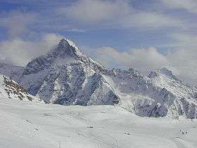 Aiguille du Plat de la Selle in winter | |
| Highest point | |
| Elevation | 3,596 m (11,798 ft) |
| Coordinates | 44°57′53″N 06°13′18″E / 44.96472°N 6.22167°ECoordinates: 44°57′53″N 06°13′18″E / 44.96472°N 6.22167°E |
| Geography | |
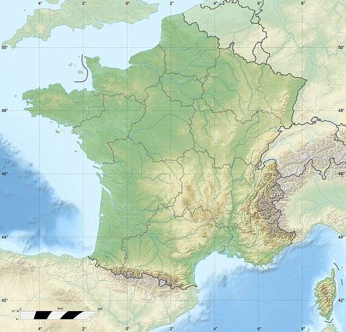 Aiguille du Plat de la Selle France | |
| Location | Rhône-Alpes, France |
| Parent range | Dauphiné Alps |
| Climbing | |
| First ascent | 28 June 1876 by Henri Cordier, Jakob Anderegg, and Andreas Maurer |
The Aiguille du Plat de la Selle, 3,596 m, is a mountain in the Soreiller group of the Dauphiné Alps in south-eastern France. Ascents of the mountain are via Saint-Christophe-en-Oisans or the Soreiller hut.
See also
External links
This article is issued from Wikipedia - version of the 5/24/2015. The text is available under the Creative Commons Attribution/Share Alike but additional terms may apply for the media files.