5th parallel south

5th parallel south

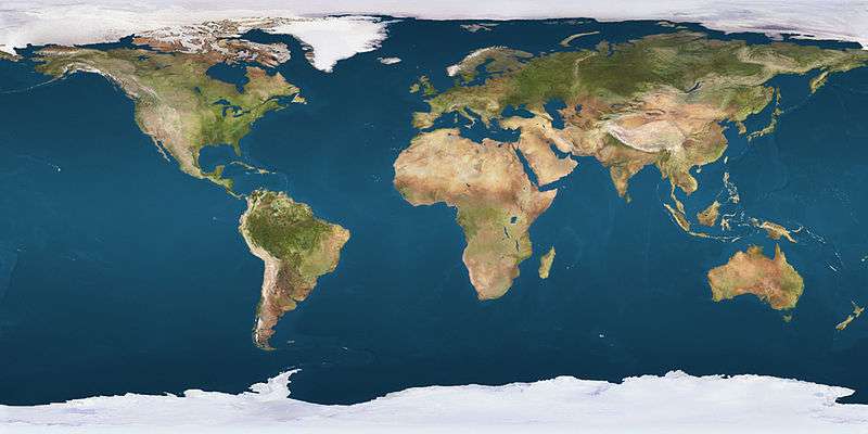
The 5th parallel south is a circle of latitude that is 5 degrees south of the Earth's equatorial plane. It crosses the Atlantic Ocean, Africa, the Indian Ocean, Southeast Asia, Australasia, the Pacific Ocean and South America.

Around the world

Starting at the Prime Meridian and heading eastwards, the parallel 5° south passes through:

Co-ordinates Country, territory or sea Notes
5°0′S 0°0′E / 5.000°S 0.000°E / -5.000; 0.000 (Prime Meridian) Atlantic Ocean
5°0′S 11°59′E / 5.000°S 11.983°E / -5.000; 11.983 (Republic of the Congo)  Republic of the Congo For about 7 km
5°0′S 12°2′E / 5.000°S 12.033°E / -5.000; 12.033 (Angola)  Angola Cabinda exclave
5°0′S 12°38′E / 5.000°S 12.633°E / -5.000; 12.633 (Democratic Republic of the Congo)  Democratic Republic of the Congo
5°0′S 29°7′E / 5.000°S 29.117°E / -5.000; 29.117 (Lake Tanganyika) Lake Tanganyika
5°0′S 29°46′E / 5.000°S 29.767°E / -5.000; 29.767 (Tanzania)  Tanzania
5°0′S 39°8′E / 5.000°S 39.133°E / -5.000; 39.133 (Indian Ocean) Indian Ocean Pemba Channel
5°0′S 39°40′E / 5.000°S 39.667°E / -5.000; 39.667 (Tanzania)  Tanzania Island of Pemba
5°0′S 39°52′E / 5.000°S 39.867°E / -5.000; 39.867 (Indian Ocean) Indian Ocean Passing through the Amirante Islands,  Seychelles
Passing just south of Mahé island,  Seychelles
Passing just north of Peros Banhos atoll,  British Indian Ocean Territory
5°0′S 103°45′E / 5.000°S 103.750°E / -5.000; 103.750 (Indonesia)  Indonesia Island of Sumatra
5°0′S 105°52′E / 5.000°S 105.867°E / -5.000; 105.867 (Java Sea) Java Sea Passing close by several small islands of  Indonesia
5°0′S 119°28′E / 5.000°S 119.467°E / -5.000; 119.467 (Indonesia)  Indonesia Island of Sulawesi
5°0′S 120°18′E / 5.000°S 120.300°E / -5.000; 120.300 (Banda Sea) Banda Sea Gulf of Boni - passing just north of the island of Kabaena,  Indonesia
5°0′S 122°23′E / 5.000°S 122.383°E / -5.000; 122.383 (Indonesia)  Indonesia Islands of Muna and Buton
5°0′S 122°57′E / 5.000°S 122.950°E / -5.000; 122.950 (Banda Sea) Banda Sea Passing close by several small islands of  Indonesia
5°0′S 137°15′E / 5.000°S 137.250°E / -5.000; 137.250 (Indonesia)  Indonesia Island of New Guinea
5°0′S 141°0′E / 5.000°S 141.000°E / -5.000; 141.000 (Papua New Guinea)  Papua New Guinea Island of New Guinea
5°0′S 145°47′E / 5.000°S 145.783°E / -5.000; 145.783 (Pacific Ocean) Pacific Ocean Bismarck Sea, passing close by several small islands of  Papua New Guinea
5°0′S 151°15′E / 5.000°S 151.250°E / -5.000; 151.250 (Papua New Guinea)  Papua New Guinea Island of New Britain
5°0′S 151°57′E / 5.000°S 151.950°E / -5.000; 151.950 (Pacific Ocean) Pacific Ocean Solomon Sea
- Passing just south of the island of New Ireland,  Papua New Guinea
- Passing just north of Buka Island,  Papua New Guinea
An unnamed part of the ocean
- Passing just north of Ontong Java Atoll,  Solomon Islands
- Passing just south of Nikumaroro atoll,  Kiribati
5°0′S 81°4′W / 5.000°S 81.067°W / -5.000; -81.067 (Peru)  Peru Piura
5°0′S 79°3′W / 5.000°S 79.050°W / -5.000; -79.050 (Ecuador)  Ecuador For about 4 km at the southernmost point of the country
5°0′S 79°0′W / 5.000°S 79.000°W / -5.000; -79.000 (Peru)  Peru Cajamarca
Amazonas
Loreto
5°0′S 72°35′W / 5.000°S 72.583°W / -5.000; -72.583 (Brazil)  Brazil Amazonas
Pará
Maranhão
Piauí
Ceará
Rio Grande do Norte
5°0′S 36°50′W / 5.000°S 36.833°W / -5.000; -36.833 (Atlantic Ocean) Atlantic Ocean

See also

This article is issued from Wikipedia - version of the 5/3/2016. The text is available under the Creative Commons Attribution/Share Alike but additional terms may apply for the media files.