Ñañu Wayq'u
| Ñañu Wayq'u | |
|---|---|
 Ñañu Wayq'u Peru | |
| Highest point | |
| Elevation | 4,932 m (16,181 ft) [1] |
| Coordinates | 13°11′57″S 73°04′31″W / 13.19917°S 73.07528°WCoordinates: 13°11′57″S 73°04′31″W / 13.19917°S 73.07528°W |
| Geography | |
| Location | Peru, Cusco Region |
| Parent range | Andes, Willkapampa |
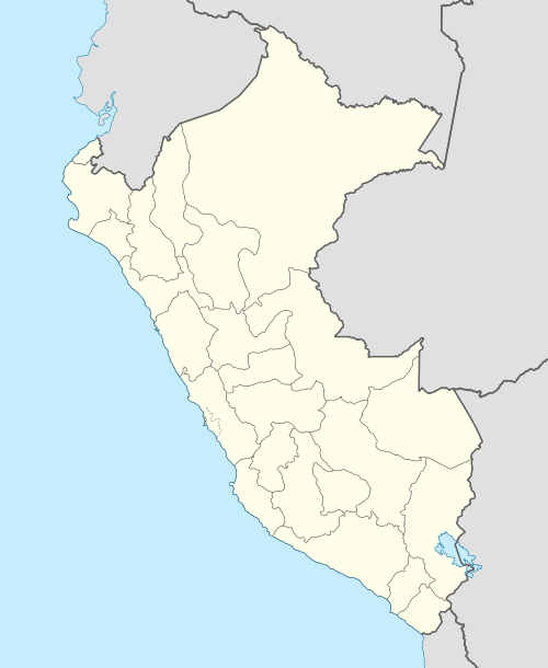
Ñañu Wayq'u (Quechua ñañu thin (cylindrical objects), slim, wayq'u brook,[2] "thin brook", Hispanicized spelling Nañuhuaico) is a 4,932-metre-high (16,181 ft) mountain in the Willkapampa mountain range in the Andes of Peru. It is located in the Cusco Region, La Convención Province, Vilcabamba District. Ñañu Wayq'u lies northwest of a mountain named Suyruqucha and north of a lake of that name, northeast of P'anta.[1][3]
Ñañu Wayq'u (erroneously spelled Nunahuayco) is also the name of a stream which originates north of the mountain. It is a left affluent of the Hatun Wayq'u ("big brook") in the north whose waters flow to the Apurímac River as a right tributary.
References
- 1 2 Ernst Spiess: Die Panta-Karte der SAC-Expedition in die Cordillera Vilcabamba (Peru), Cartographica Helvetica, Heft 28, Juli 2003
- ↑ Teofilo Laime Ajacopa, Diccionario Bilingüe Iskay simipi yuyayk'ancha, La Paz, 2007 (Quechua-Spanish dictionary)
- ↑ escale.minedu.gob.pe - UGEL map of the La Convención Province 1 (Cusco Region) (unnamed)
This article is issued from Wikipedia - version of the 5/3/2016. The text is available under the Creative Commons Attribution/Share Alike but additional terms may apply for the media files.